御嶽山(みたけさん)展望台
更新日:2022年01月17日
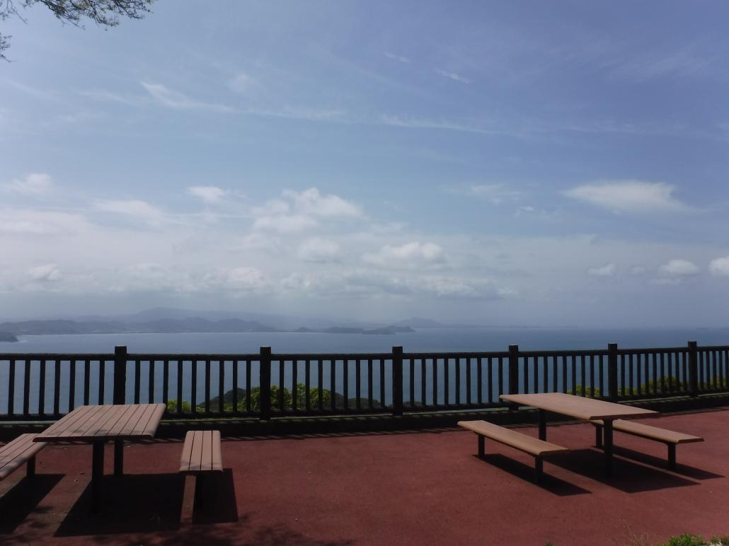
大島の最高峰・御嶽山(標高224メートル)の展望台は、晴れた日には沖ノ島や地島、相島、長崎の壱岐などのほかの宗像の四塚連山、英彦山、背振などの山々、さらには福岡ドームや福岡タワーなどを見ることができます。
Mt. Mitake Observatory
Mt. Mitake Observatory, near the summit of Mt. Mitake on Oshima Island, has panoramic views over the Genkai Sea to the islands of Okinoshima, Iki, and Tsushima, and to a stretch of the Kyushu coastline from Fukuoka to Kitakyushu. The summit of the mountain is believed to have been a place for remote worship (yohai) of Okinoshima, which is considered sacred and is off limits to the general public. Since ancient times, people have visited locations with views of Okinoshima to worship the island deities from afar.
Okinoshima is on an ancient sea route for trade and travel between Kyushu and the Korean Peninsula, and seafarers would sometimes stop there to pray for safe travel or to shelter from storms. Signage in English at the observatory introduces some of the artifacts that have been found on Okinoshima. They date back to the fourth century and are believed to have been used as offerings to the deities of Munakata Taisha for safe sea travel. The artifacts include pottery vessels, a gold ring, and bronze mirrors, from as far away as ancient Persia.
Hiking around Mt. Mitake
The observatory is a popular rest stop on one of the Kyushu Olle courses, a series of hiking routes across Kyushu, each of which can be covered in a day. The Oshima course is just over 11 kilometers long and takes around 4–5 hours to complete. Mitake-jinja Shrine, at the summit of Mt. Mitake, is part of the Nakatsu-miya Shrine precincts. Nakatsu-miya is one of the three shrines of Munakata Taisha, which revere the Three Female Deities of Munakata. A steep path leads from the main sanctuary of Nakatsu-miya to Mt. Mitake Observatory and Mitake-jinja Shrine. It takes around 20 minutes to reach the observatory. Mitake-jinja Shrine is next to the observatory.
(This English-language text was created by the Japan Tourism Agency.)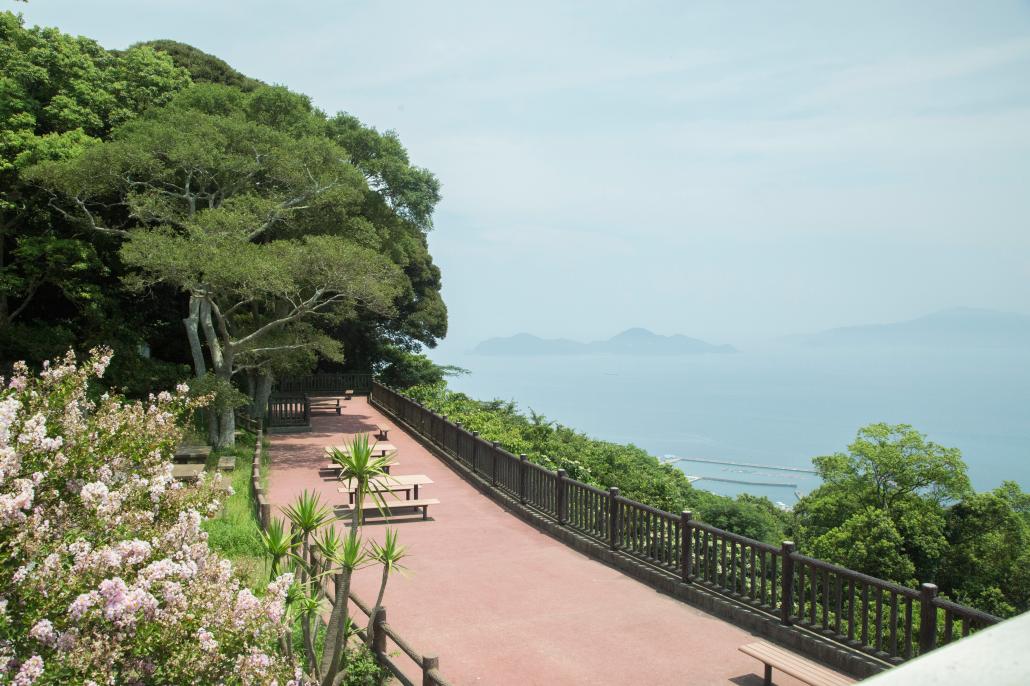
周辺案内図
地図はドラッグ操作でスクロールします。